


Popular Results
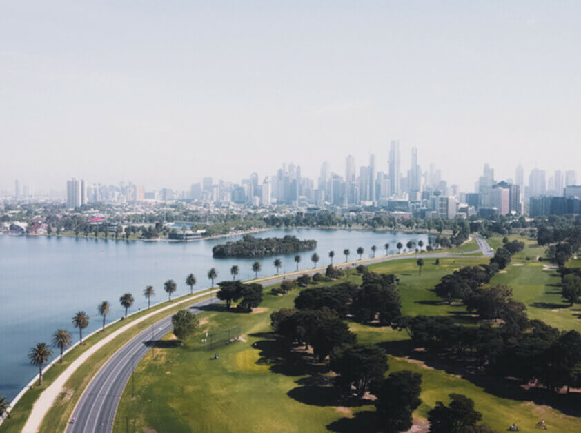
Albert Park – 3206
Albert Park is a prestigious suburb just 3 km south of Melbourne’s CBD, offering a blend of historic Victorian homes, tree-lined boulevards, and bayside living. The suburb surrounds Albert Park Lake, a popular venue for running, sailing, and the annual Formula 1 Grand Prix. With boutique shops and cafés on Bridport Street and Victoria Avenue, Albert Park attracts families, professionals, and retirees seeking a fined coastal lifestyle close to the city.
Altona North – 3025
Altona North, approximately 10 km southwest of the CBD, combines residential living with an industrial character. It is undergoing steady transformation, with new housing developments and modern retail such as Altona Gate Shopping Centre. The suburb is conveniently positioned near major arterial roads, including the West Gate Freeway, and is close to Port Melbourne and the CBD. With a strong multicultural presence and excellent access to employment hubs, Altona North continues to draw young families, working professionals, and investors..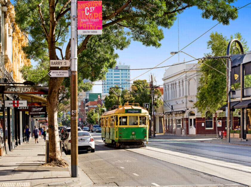
Armadale – 3143
Armadale, approximately 7 km southeast of the CBD, is a prestigious suburb renowned for its leafy streets, boutique shopping, and elegant period homes. With High Street’s designer stores, excellent schools, and strong transport links, it remains a top choice for families and professionals seeking sophistication and convenience.
Aspendale – 3195
Aspendale, 27 km southeast of the CBD, is a serene beachside suburb renowned for its family-friendly atmosphere, excellent schools, and proximity to the wetlands and foreshore walking tracks. With a relaxed coastal atmosphere and a strong community vibe, Aspendale offers a mix of mid-century homes and modern townhouses, appealing to families and professionals seeking a bayside lifestyle.Balaclava – 3183
Balaclava, nestled between St Kilda and Elwood, is a vibrant inner-city suburb reknown for its multicultural character and dynamic lifestyle. Carlisle Street offers an eclectic mix of cafés, bars, markets, and shops, serving a diverse community of families, students, and young professionals. With strong transport links and proximity to the beach, it combines convenience with an urban, bohemian atmosphere.Beaumaris – 3193
Beaumaris, approximately 20 km southeast of the CBD, is a prestigious bayside suburb renowned for its clifftop views, native vegetation, and mid-century architecture. Beaumaris is bordered by beautiful beaches, coastal walking trails, and the renowned Beaumaris Bay. It is home to leading public and private schools, the Beaumaris Concourse retail village, and renowned golf courses such as Royal Melbourne and Victoria Golf Club. With its relaxed coastal feel, architectural significance, and family-friendly community, Beaumaris is highly sought after by professionals and established families.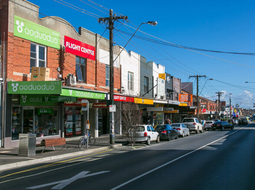
Bentleigh East – 3165
Bentleigh East lies just east of Bentleigh and offers a slightly quieter, more suburban lifestyle. It features a range of housing styles, strong schooling options, including Valkstone Primary and McKinnon Secondary College, and local shopping strips along Centre and East Boundary Roads. The suburb boasts ample green space, featuring Centenary Park and GESAC (Glen Eira Sports and Aquatic Centre), making it an ideal destination for active families.Bentleigh – 3165
Bentleigh, situated 13 km southeast of Melbourne’s CBD, is a well-connected suburb renowned for its family-friendly atmosphere, excellent schools, and vibrant Centre Road shopping precinct. With a mix of classic Californian bungalows, modern townhouses, and new apartments, Bentleigh appeals to families, downsizers, and professionals alike. The area boasts quality parks, such as Allnutt Park and Halley Park, and is well-served by train, bus, and easy road access.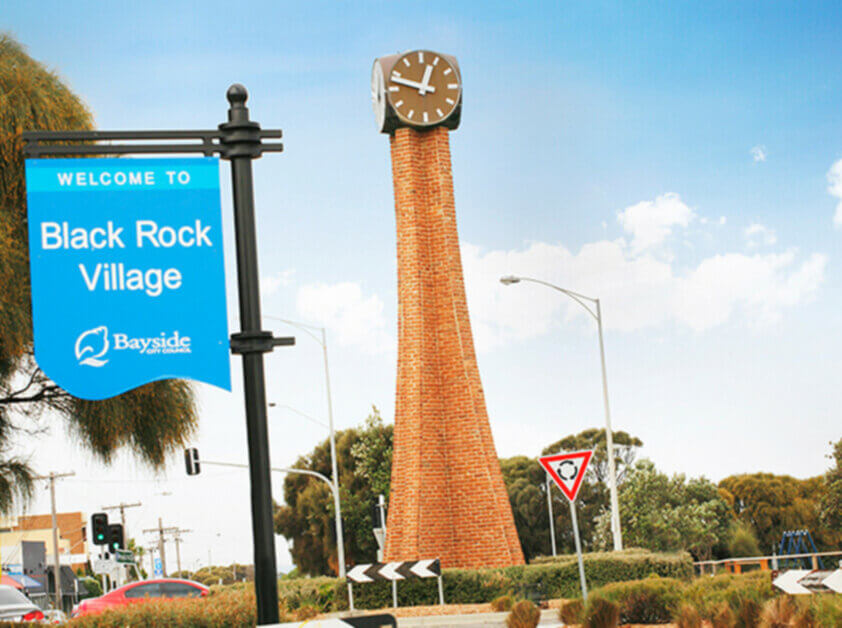
Black Rock – 3193
Black Rock, approximately 18 km southeast of the CBD, is a tranquil, upmarket suburb nestled along the coast between Sandringham and Beaumaris. Known for its beachside charm, boutique shops, and friendly village feel, Black Rock offers residents a peaceful lifestyle with stunning coastal walks, cafes, and access to Half Moon Bay and the historic Black Rock Yacht Club. It appeals to families, retirees, and professionals who appreciate a relaxed coastal environment with proximity to quality schools and green spaces.Brighton East – 3187
Brighton East, situated just inland from Brighton and approximately 12 km from the CBD, offers a quieter residential alternative with excellent green spaces and a family-friendly appeal. It is home to some of Melbourne’s best schools, including Brighton Secondary College and Haileybury, and is bordered by Dendy Park and Landcox Park. With easy access to both the beach and Nepean Highway, Brighton East is popular among growing families, professionals, and those seeking a suburban lifestyle with strong community ties.Brighton – 3186
Brighton, approximately 11 km southeast of the CBD, is one of Melbourne’s most iconic and affluent suburbs. Known for its grand homes, famous bathing boxes, and picturesque coastline, Brighton blends prestige with lifestyle. Church Street offers premium retail, dining, and cafes, while the suburb also hosts elite schools, private yacht clubs, and Brighton Beach railway station. With easy access to the city and a rich heritage, Brighton remains a blue-chip location favoured by professionals, families, and downsizers alike.
Caulfield – 3145
Caulfield, situated approximately 10 km southeast of the city, is a leafy and well-established suburb with a rich Jewish cultural heritage and historic homes. The suburb is home to Caulfield Racecourse, Monash University’s Caulfield campus, and excellent transport connections. With spacious homes, wide streets, and access to both city and bay, Caulfield is popular among professionals, academics, and established families.
Chelsea – 3196
Chelsea, approximately 30 km southeast from the Melbourne CBD, is a relaxed, beachside community known for its broad sandy beaches, family-friendly amenities, and walkable village atmosphere. With a lively shopping strip, train station, and parks, Chelsea offers an attractive lifestyle appeal for families, retirees, and professionals alike.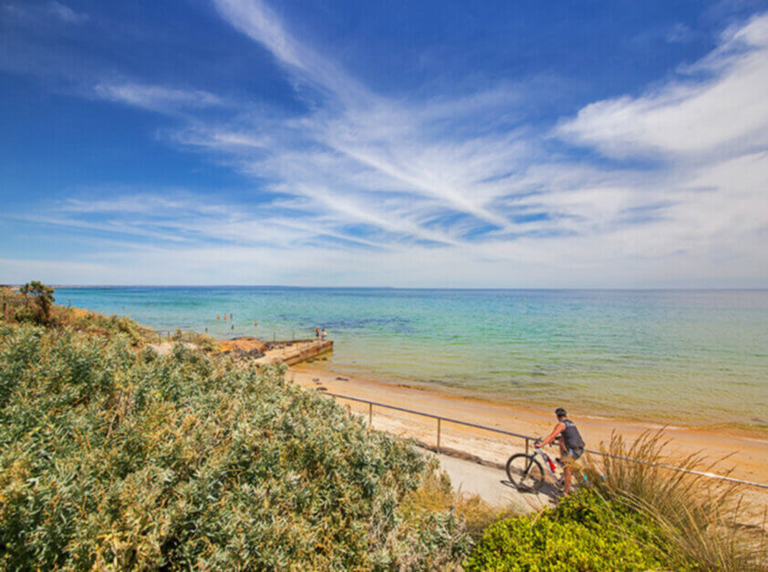
Cheltenham – 3192
Cheltenham, approximately 17 km southeast of the CBD, is a major activity centre anchored by Cheltenham train station and the Southland Shopping Centre. It offers a mix of residential streets, modern apartments and multicultural dining along Centre Dandenong Road. The area is well-served by trams, buses and cycling paths, and hosts several quality schools and recreational spaces. Its blend of lifestyle and convenience draws families, young professionals and retirees.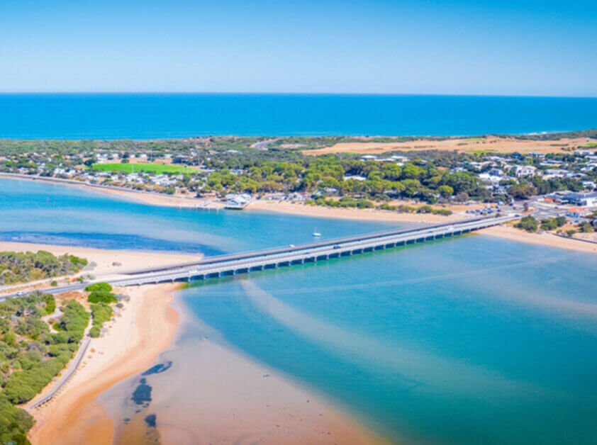
Clifton Springs – 3222
Clifton Springs is primarily a residential community fronting Port Phillip. Clifton Springs spans a diverse coastline consisting of a mixture of steep cliffs sandy beaches and rocky outcrops. The neighbourhood is home to the secluded Dell Picnic Area and Clifton Springs Golf Course. While there is a small collection of shops in the area major shopping facilities can be found in neighbouring Drysdale.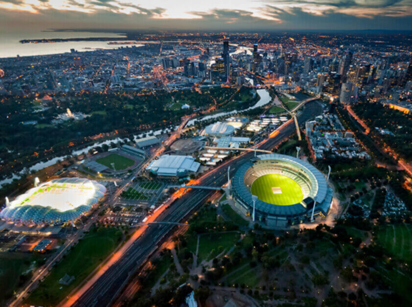
Docklands – 3008
Docklands is a newly developed waterfront precinct on the western edge of the Melbourne CBD, featuring high-rise residential towers, corporate offices, entertainment venues, and marina promenades . The area includes waterfront dining, public art installations, the Marvel Stadium, and shopping malls. It attracts professionals, investors, and residents seeking modern urban living by the water.Drysdale – 3222
Drysdale is located on the Bellarine Peninsula and in recent years it has become a residential satellite of Geelong. Historically a pleasant holiday resort - with people visiting to "take the waters" at Clifton Springs - it has become part of the larger urban sprawl along the shoreline of Port Phillip Bay. The area is home to the Bellarine Peninsula Railway Bellarine Historical Society and Drysdale Park and Recreation Reserve.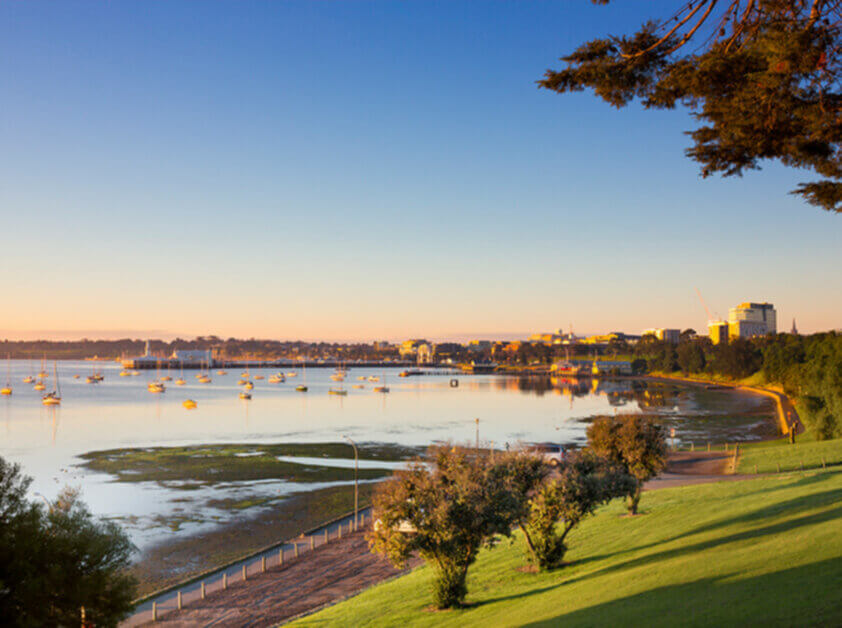
East Geelong – 3219
East Geelong is a sought-after residential area with large public open spaces. The enormous Eastern Park runs down to the waterfront and is home to Geelong's historic Botanic Gardens. The park also features several ovals and other sports fields and neighbours the East Geelong Golf Club. Two main roads and bus routes traverse the small suburb. East Geelong has local shopping centres at the intersections of Garden Street and Ormond Road and Breakwater and St Albans roads. It also offers quick access to the city centre.Edithvale – 3196
Edithvale, a beachside suburb approximately 28 km southeast of the CBD, offers a quiet, coastal village feel with broad sandy beaches and a strong local community. With excellent transport links, a popular primary school, and new residential developments, Edithvale appeals to both families and downsizers.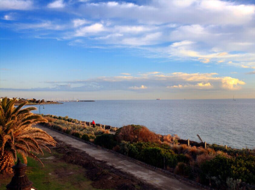
Elsternwick – 3185
Elsternwick, approximately 9 km southeast of the CBD, is a stylish and vibrant suburb known for its mix of Edwardian and Victorian architecture, the bustling Glen Huntly Road strip, and a rich café and arts scene. It offers strong public transport links, quality schools, and proximity to both the bay and city. Elsternwick attracts creatives, professionals, and families who value culture and convenience.Elwood – 3184
Elwood is a relaxed bayside suburb located approximately 8 km south of the CBD, known for its coastal lifestyle, Art Deco architecture, and village charm. It offers residents leafy streets, beach access, bike trails, and a strong sense of community, with cafes and grocers clustered along Ormond Road. Elwood is especially popular among families, professionals, and downsizers who value proximity to the beach and a quieter pace near the city.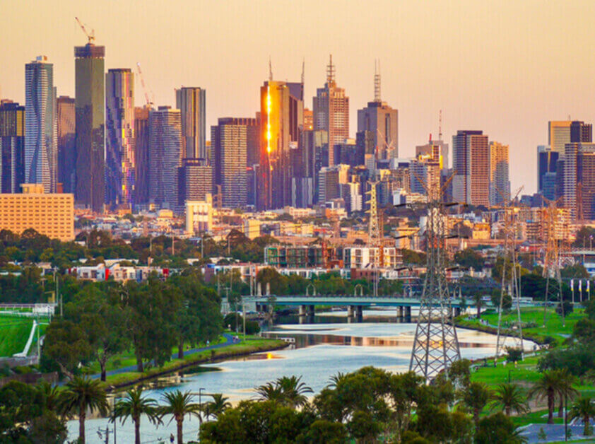
Footscray – 3011
Footscray, approximately 5 km west of the CBD, is a vibrant and multicultural suburb undergoing rapid urban renewal while maintaining its strong cultural identity. Known for its diverse food scene, Footscray Market, arts hubs, and proximity to Victoria University, it offers an exciting lifestyle for students, young professionals, and creatives. Major transport links, affordable housing options, and a buzzing community make it a suburb on the rise for buyers and investors alike.Geelong – 3215
Geelong is Victoria's second largest city. It has a large commercial centre which extends down to the foreshore featuring Eastern Beach the Steampacket Gardens dining options on Cunningham Pier and several coastal walks dotted with bollards depicting historic characters. The area is home to the National Wool Museum the Old Geelong Gaol and the Botanic Gardens at Eastern Park. Deakin University and Barwon Hospital reside in the neighbourhood.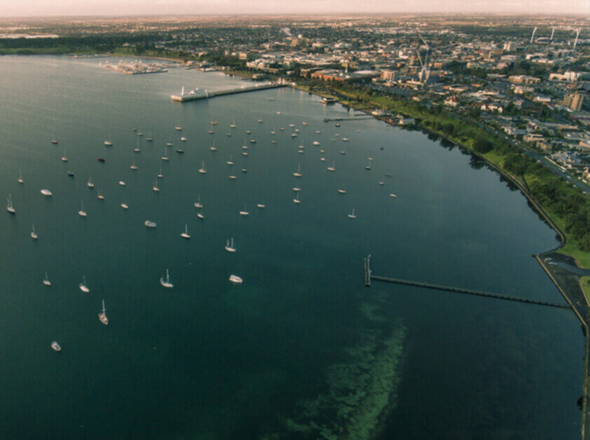
Grovedale – 3216
Grovedale's first churches reserves and halls were built along the road to Torquay and in general the suburb has expanded along and to the west of the Surfcoast Highway. Today it has a mixture of modern brick homes reflecting its development. As one of Geelong's larger residential suburbs schools shopping centres and other community facilities have developed to meet the needs of its residents. Grovedale neighbours the Geelong Airport and is a mere 15 minutes from the Surfcoast.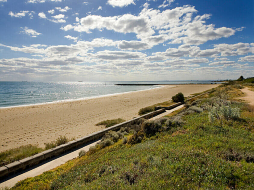
Hampton East – 3188
Hampton East, approximately 15 km southeast of the CBD, provides a more affordable entry point into the Bayside area while maintaining a strong lifestyle appeal. With a mix of post-war homes and increasing medium-density developments, Hampton East is popular among first-home buyers and young families. It benefits from close proximity to Moorabbin Station, local parks, schools, and major road links, making it a practical and growing suburb with strong future potential.Hampton Park – 3976
Hampton Park is located 37 km south-east of the CBD. Hampton Park is located on the South Gippsland Hwy in Melbourne's south-east. Hampton Park has been one of the fastest growing new suburbs in Melbourne over the last twenty years. It has been one of the major areas of new residential development in the south-east growth corridor. A high proportion (31%) of the suburb's labour force are employed in the manufacturing sector. The suburb also features the Hampton Park Shopping Centre and the Robert Booth Reserve.Hampton – 3188
Hampton, approximately 14 km southeast of the CBD, is a vibrant bayside suburb that seamlessly blends a coastal lifestyle with a cosmopolitan village feel. Hampton Street serves as the main retail and dining hub, offering boutique shopping, cafes, and local services. The suburb features a mix of period homes, townhouses, and luxury residences, all situated close to the beach and foreshore. Hampton’s train station, excellent schools, and community atmosphere attract families, professionals, and beach-loving downsizers.Highett – 3190
Highett, approximately 16 km southeast of the Melbourne CBD, is a suburb in transition, featuring pockets of redevelopment, leafy residential streets, and a growing café precinct near Highett station. It offers easy access to trams and buses, as well as proximity to Castlefield Reserve and Southland Shopping. Schools and childcare facilities further enhance the family appeal. Highett is becoming increasingly popular with commuters and first-home buyers seeking affordable housing on the Bayside fringe.Highton – 3216
The hills of Highton offer superb views across the river and city and over Corio Bay making Highton a much sought-after place to live. Most streets are tree-lined and close to neighbourhood parks. Queens Park at its northern boundary fills a large bend of the Barwon River and contains a superb established golf course.Leopold – 3224
The spreading suburb of Leopold lies on both sides of the Bellarine Highway with small shopping areas in each part. Leopold is on high ground but has several waterholes and wetlands around its perimeter including the Gateway Sanctuary reserve. Boating is popular among residents since the town enjoys quick access to jetties along Corio Bay. Leopold also enjoys proximity to the dramatic beaches and bays around Queenscliff Point Lonsdale and Ocean Grove.Mckinnon – 3204
McKinnon, approximately 12 km southeast of the CBD, is a tightly held suburb renowned for its high-performing schools, particularly McKinnon Secondary College. It features a mix of renovated family homes and modern developments, and enjoys strong train and bus connections. With a quiet, residential feel and access to parks and shopping, McKinnon is a top choice for education-focused families.Melbourne – 3000
Melbourne’s CBD is the city’s business and financial hub, boasting the highest concentration of businesses and residents within a small area of the municipality. It hosts a diverse mix of retail, financial, legal, administrative, recreational, tourist, and entertainment facilities that serve residents, workers, and visitors alike. The CBD is also one of Australia’s fastest-growing residential areas. Key landmarks include Federation Square, Melbourne’s major public square, home to the Melbourne Visitor Centre, the Ian Potter Centre, and the Australian Centre for the Moving Image. It regularly hosts arts and cultural events and broadcasts major sporting events on a giant screen. The area also encompasses the Royal Botanic Gardens, Kings Domain (which includes Government House), Queen Victoria Gardens, and Alexandra Gardens. Nearby, Olympic Park and Melbourne Park host major sporting and entertainment events, including the Australian Open Tennis Championships.Mentone – 3194
Mentone, approximately 21 km southeast of Melbourne's CBD, combines beachside charm with high-quality educational options, including several well-known private schools. With its bustling shopping strip, historic homes, and a major train station upgrade, Mentone is a lifestyle hub that is popular with families and professionals.Moorabbin – 3189
Moorabbin, a mixed-use suburb 15?km southeast of Melbourne, is home to residential pockets, industrial precincts, and the Moorabbin Airport. With revitalised transport infrastructure and growing interest from first-home buyers and investors, Moorabbin is undergoing steady transformation.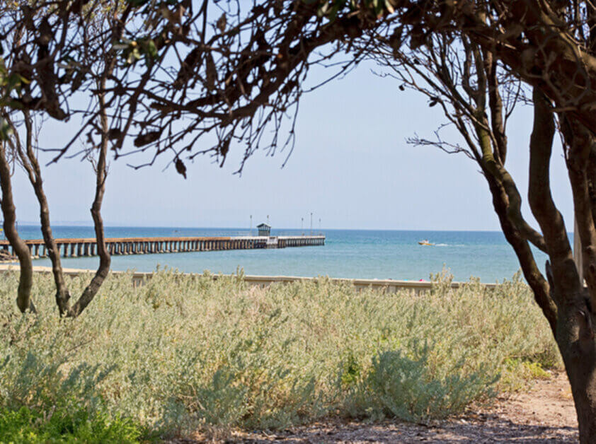
Mordialloc – 3195
Mordialloc, approximately 24 km southeast of Melbourne's CBD, is a lively bayside suburb renowned for its marina, beaches, and walkable café strip along Main Street. With a blend of heritage homes and new apartments, along with a train station and a strong sense of community, Mordialloc is ideal for beach-loving professionals and families.Newport – 3015
Newport, approximately 7 km southwest of the CBD, is a vibrant inner-western suburb with a strong creative identity and a rich heritage charm. Known for the Substation arts venue, Newport Lakes, and charming period homes, the area blends suburban living with cultural flair. Newport Station offers convenient access to the city, while its proximity to Williamstown Beach adds a coastal charm. With a thriving local café scene and access to schools and parks, Newport continues to attract professionals, families, and creatives seeking a dynamic lifestyle close to Melbourne’s core.Newtown – 3220
The Barwon River runs around Newtown and several large reserves that contain playing fields sporting clubs wetlands and a bicycle/walking track are beside it. There are hundreds of beautiful Victorian and Edwardian houses and several historic mansions including Barwon Grange west of the river. Newtown neighbours the established Queens Park golf course in the west and Kardinia Park to the east. The suburb boasts some of the city's finest schools - The Geelong College Sacred Heart College and St Joseph's College - and several excellent shopping centres.North Geelong – 3215
North Geelong is rich with industry and history. It is now a sought-after residential suburb because of its proximity to the city Corio Bay Princes Highway and North Geelong railway station. Osborne House is home of the Naval and Maritime Museum after a long stint as a municipal office.Ocean Grove – 3226
Ocean Grove is the largest town on the Bellarine Peninsula covering about 20 square kilometres to the east of the Barwon River mouth. It enjoys the whole range of river and ocean activities. More and more residents commute to Geelong and the relative number of holiday homes has declined but Ocean Grove is still a thriving holiday resort.Ormond – 3204
Ormond, approximately 12 km southeast of the city, is a small, peaceful suburb with a village-like atmosphere. Known for its proximity to schools, the train station, and family homes, Ormond offers a quiet alternative to busier neighbouring suburbs while remaining well-connected. With boutique shopping and local parks, it is ideal for young families and downsizers.Parkdale – 3195
Parkdale, approximately 23 km southeast of Melbourne's CBD, is a sought-after beachside suburb with a peaceful, village-like atmosphere. Known for its high-quality schools, leafy streets, and vibrant community vibe, Parkdale offers the best of bayside living, with strong public transport connections.Port Melbourne – 3207
Port Melbourne, approximately 3 km southwest of Melbourne's CBD, stretches along the shores of Hobsons Bay, just 3 km from the CBD, mixing heritage port and industrial precincts with modern bayside apartment developments. Its Bay Street dining strip, waterfront promenades, and cultural venues make it a lively residential and leisure hub. Well-served by light rail and road links, including the West Gate Bridge, it attracts professionals, families, and investors.Prahran – 3181
Prahran, approximately 5 km southeast of Melbourne's CBD, is a vibrant lifestyle suburb famous for its bustling Chapel Street precinct. With a mix of heritage homes, modern apartments, and buzzing cafes, it appeals to families, young professionals, and creative types. Excellent transport and a thriving cultural scene make Prahran one of Melbourne’s most dynamic addresses.Ripponlea – 3185
Ripponlea, approximately southeast 6 km from Melbourne's CBD, is a small, charming suburb best known for Ripponlea Estate, a historic mansion and its surrounding gardens. Its streets are lined with quaint period homes and village-style shops, lending it a cozy, tightly-knit atmosphere. Popular with those seeking heritage charm and quick access to both Elsternwick and St Kilda amenities.Sandringham – 3191
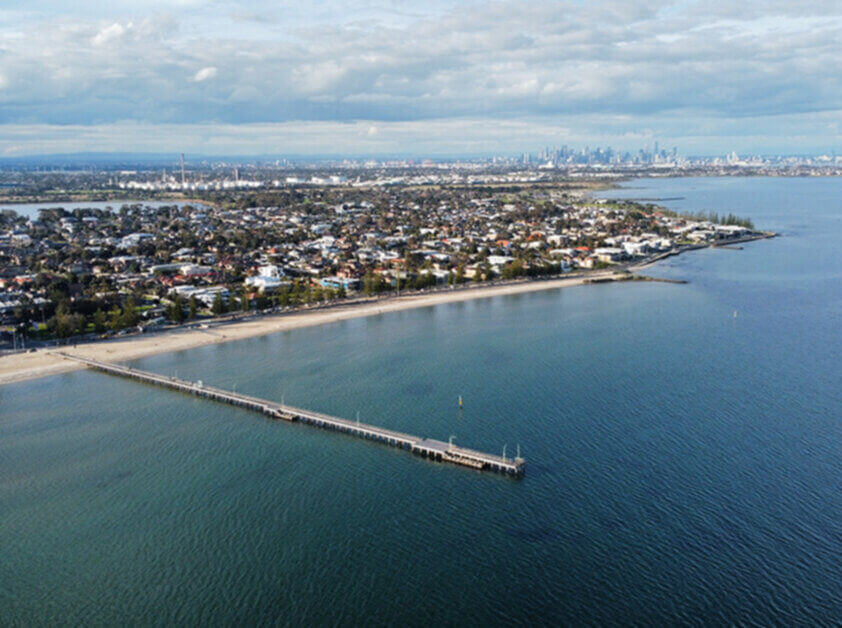
Sandringham, approximately 16 km south of Melbourne's CBD, is a charming coastal suburb that offers a relaxed yet sophisticated lifestyle. Anchored by Sandringham Village and its cafes, shops, and train station, the suburb provides direct access to the beach, yacht club, and coastal trails. With a mix of period homes, luxury residences, and boutique apartments, Sandringham appeals to families, retirees, and professionals seeking a bayside lifestyle with excellent schools and a strong sense of community.Seaford – 3198
Seaford, situated along the Port Phillip coastline approximately 36 km southeast of Melbourne, is a relaxed beachside suburb renowned for its laid-back atmosphere and natural beauty. It features long stretches of sandy beach, the scenic Seaford Wetlands, and a growing café scene. With excellent train access and proximity to Frankston, Seaford appeals to families, creatives, and those seeking coastal living with urban convenience.Seddon – 3011
Seddon, apprxoimately 7 km west of Melbourne’s CBD, is a stylish inner-west suburb with a strong village atmosphere. Seddon Village, with its cafes, boutiques, and community atmosphere, attracts professionals, downsizers, and young families seeking charm and connectivity. It is well-served by buses and has easy access to Middle Footscray and Seddon Stations.South Melbourne – 3205
South Melbourne, approximately 3 km south of Melbourne's CBD, is a vibrant inner suburb featuring a mix of Victorian terraces, modern apartments, and heritage buildings. Home to the renowned South Melbourne Market, it offers a diverse range of food, produce, shopping, and café options, as well as strong transport links to the city. Its leafy parks and proximity to the Yarra River also appeal to professionals, creatives, and families.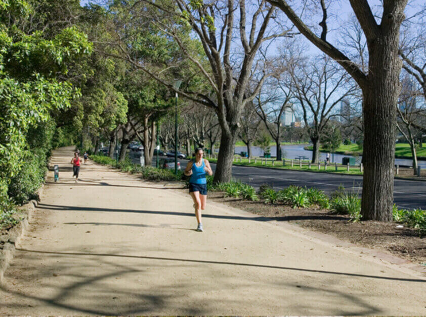
South Yarra – 3141
South Yarra, approximately 4 km southeast of Melbourne's CBD, is a prestigious and cosmopolitan inner-city suburb known for its blend of luxury living and vibrant urban culture. Its shopping and dining precincts, along Chapel Street and Toorak Road, offer a rich mix of high-end boutiques, cafés, bars, and entertainment venues. The suburb is also celebrated for its leafy boulevards and access to major green spaces, such as Fawkner Park and the Domain parklands, as well as top-tier schools and heritage architecture.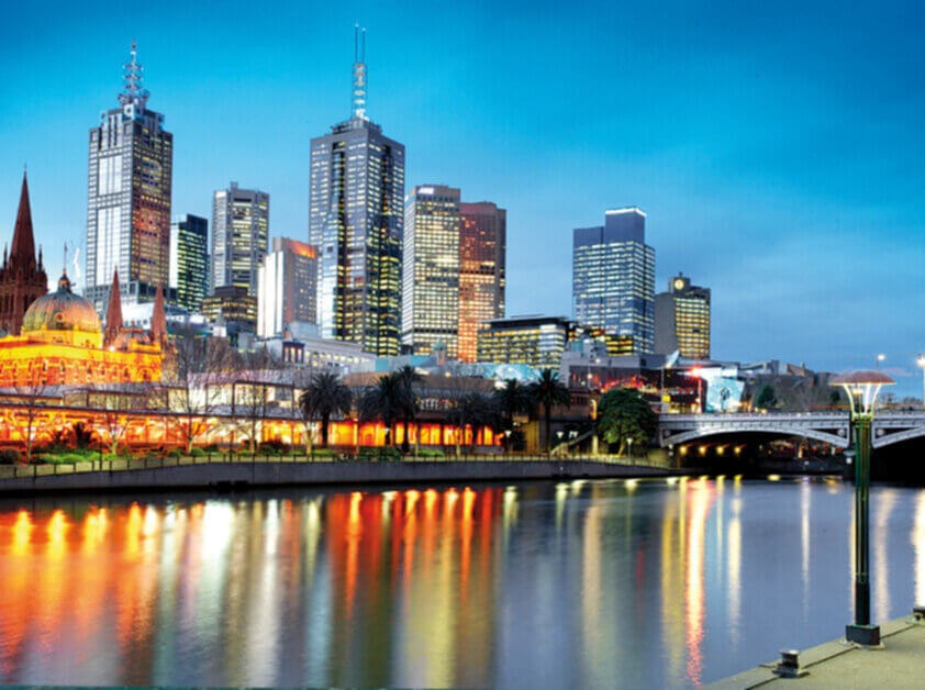
Southbank – 3006
Southbank sits on the Yarra River bank directly adjacent to the CBD and is Melbourne’s premiere arts and entertainment precinct. With attractions like the Arts Centre, Crown Casino, riverside promenades, and high-rise apartments, it caters to tourists, nightlife seekers, and urban professionals. The area also hosts significant office developments and cultural venues.St Kilda – 3182
St Kilda, approximately 6 km south of the CBD, is Melbourne’s iconic beachside suburb, known for its vibrant energy, arts culture, and seaside attractions. Landmarks such as Luna Park, St Kilda Pier, and the Esplanade Market make it a magnet for tourists and residents, while Acland and Fitzroy Streets buzz with cafes, bakeries, bars, and live music. It offers a unique blend of historic charm, bohemian flair, and modern apartment living, attracting a mix of artists, young professionals, and long-time locals.
Werribee – 3030
Werribee, approximately 32 km southwest of Melbourne's CBD, is a historic, family-oriented suburb with a mix of period and modern homes. With Werribee Plaza, schools, parks, and transport links, it offers a lifestyle, convenience, and community amenities that cater to families and professionals.Windsor – 3181
Windsor, approximately 5 km southeast of Melbourne's CBD, is a lively inner suburb known for its trendy cafes, boutique shopping, and vibrant nightlife along Chapel Street. With a mix of historic terraces, modern apartments, and excellent public transport, it appeals to young professionals and creative types. Windsor combines convenience, culture, and energy, making it one of Melbourne’s most dynamic lifestyle destinations.Wyndham Vale – 3024
Wyndham Vale, approximately 31 km southwest of Melbourne's CBD, is a master-planned, family-friendly suburb featuring modern homes, parks, and schools. With Wyndham Vale Town Centre, train access, and easy freeway connectivity, it is highly sought after by families seeking lifestyle, space, and community amenities.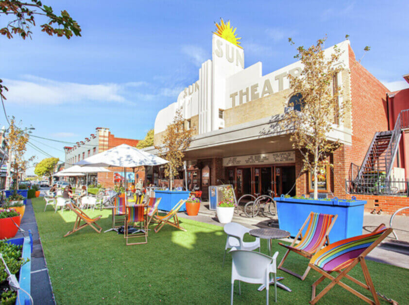
Yarraville – 3013
Yarraville, approximately 6 km southwest of the city, is one of Melbourne’s most desirable inner-west suburbs. With its restored period homes, the iconic Sun Theatre, and a buzzing café and arts scene, Yarraville offers a blend of heritage charm and modern lifestyle that appeals to professionals, families, and design-conscious buyers. It has readily avaiable bus routes and the central Yarraville Station.
In need of property management services?
Our team can be relied upon to be caring and transparent throughout your property journey, delivering an experience that will make you feel nothing but content. Find out more about how we can take care of your property today.